 HeadsUp Bike
How it works
Mount it, open it, ride. Here’s what you’re looking at.
Using it
- Mount your phone on your handlebars, or in a bag on your top tube. Open the app and ride.
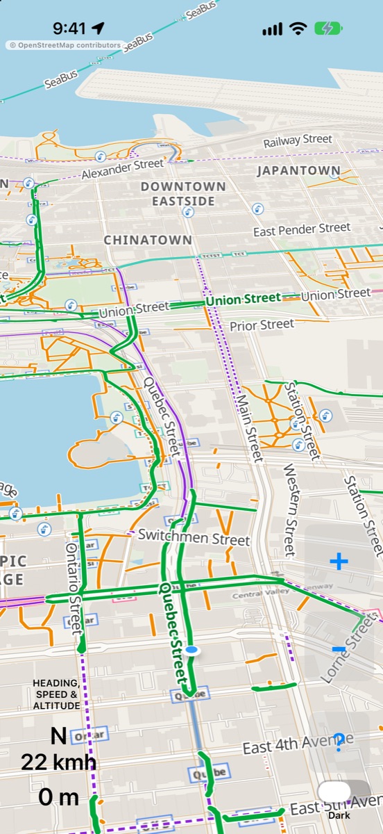
- The map follows you, turns to face the way you’re going, and looks ahead — you’ll see more of what’s coming than what’s behind.
- + and −, or a pinch, zoom in for neighbourhood detail or out to see further ahead.
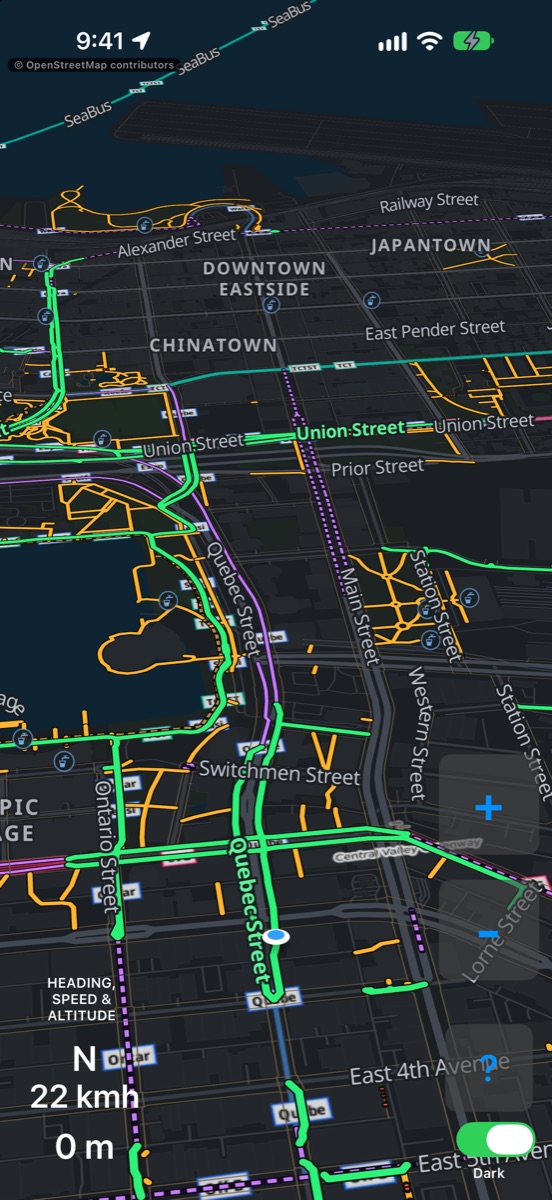
- Dark switches to a night map that’s easy on the eyes.
- ? shows the legend, the one-page guide, and links.
- Lower left: your heading, speed and elevation.
The screen stays on while the app is open — plug into your e-bike’s USB, or bring a battery pack on long rides. It needs your location (only while you’re using the app) and a data connection.
What the colours mean
- Bike pathits own path, away from cars
- Separated bike lanealong a street, built apart from traffic
- Painted bike lanea lane marked on the road
- Shared bike routeshare the lane (sharrows)
- Walking pathtrails & neighbourhood connectors
- Dashed walking pathwalk your bike
- Cycling network routesigned bike routes
- Stairsbest avoided
Where the map comes from
Everything on the map is OpenStreetMap — a worldwide map built by a community of volunteers. Bike lanes and connector paths are fetched live for the area around you, and refreshed as you ride.
If a path you ride is missing or wrong, you can fix it. It’ll show up in HeadsUp Bike — and on every other map built from OpenStreetMap.
On Apple Watch
The watch app draws the same bike network on your wrist. Zoom with + and −, the Digital Crown, or a double-tap. It can run on its own, and follows the iPhone app’s light or dark setting.
Ride safely. Glance, don’t stare, and never fiddle with your phone while moving. Map data can be incomplete — trust what you see on the road.