 Coming soon · iPhone, iPad & Apple Watch
See the bike network as you ride.
HeadsUp Bike is a ride-along map that follows you, turns with you and looks ahead — with bike paths, lanes, trails and the little connectors between neighbourhoods drawn bold, and the roads turned down.
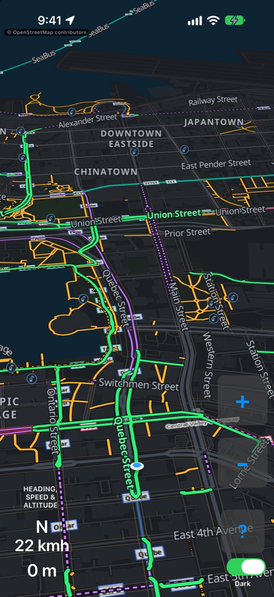
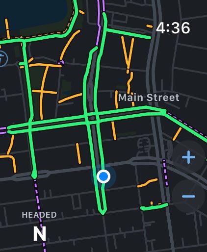
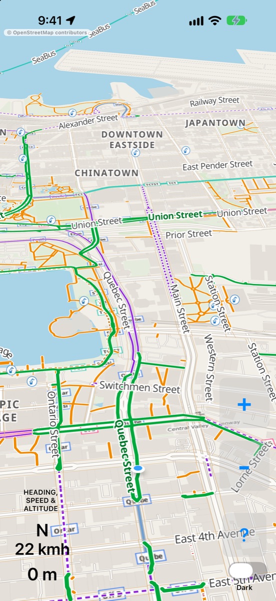
The map follows you, turns with you, and looks ahead.
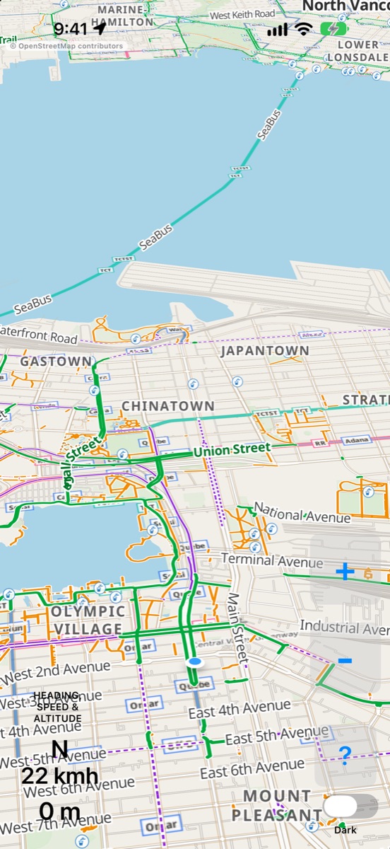
Mount your phone on your handlebars and ride. HeadsUp Bike turns to face the way you’re going and shows more of what’s coming than what’s behind — so you can spot the path you want before you reach it.
Your heading, speed and elevation sit in the corner. Big + and − buttons, or a pinch, zoom in for neighbourhood detail or out to see further ahead. That’s it.
Paths, lanes and routes — colour-coded.
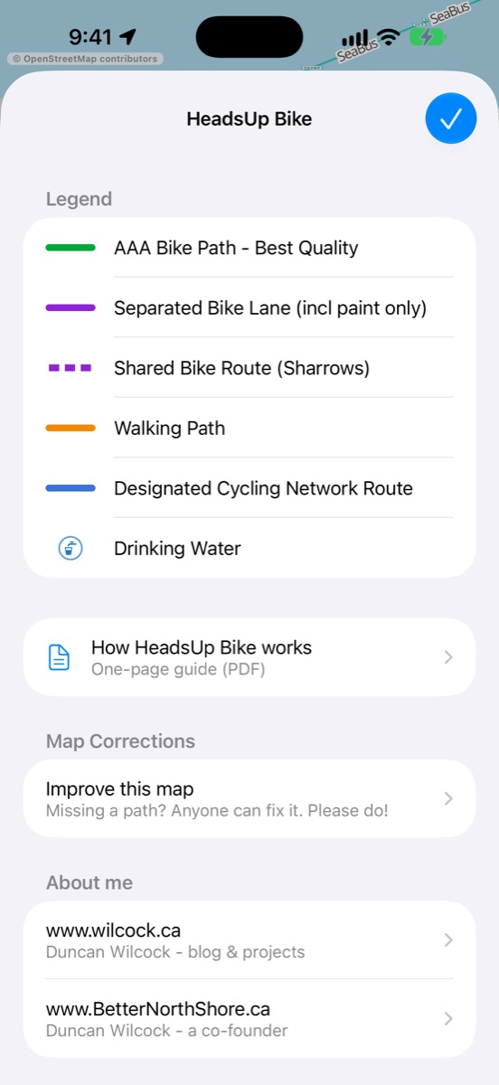
Instead of traffic, HeadsUp Bike makes the bike network stand out. Roads are drawn in quiet greys so the good stuff wins.
- Bike pathits own path, away from cars
- Separated bike lanealong a street, built apart from traffic
- Painted bike lanea lane marked on the road
- Shared bike routeshare the lane (sharrows)
- Walking pathtrails & neighbourhood connectors
- Dashed walking pathwalk your bike
- Cycling network routesigned bike routes
- Stairsbest avoided
Find the paths you didn’t know existed.
I built HeadsUp Bike to explore my city by bike and e-bike — and to find the foot paths, cut-throughs and quiet routes that don’t show up on a driving map.
It’s for tooling around, commuting a better way, or seeing what’s around the next corner. It works great for scooters and all kinds of micromobility too. (For turn-by-turn bike routing, I recommend Transit.)
An Apple Watch app, too.
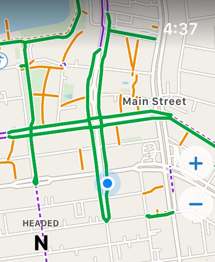
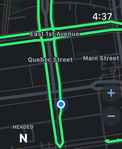
The same map, drawn for your wrist. Zoom with the Digital Crown or + and −. It runs on its own, and switches to a dark, battery-friendly map when you lower your wrist.
Made from OpenStreetMap.
Everything on the map comes from OpenStreetMap, the worldwide map built by volunteers. Bike lanes and connector paths are fetched live for the area around you.
No account
No sign-up, no tracking. Open the app and ride.
Fix it, and it shows up
Path missing or wrong? Anyone can fix the map — and it improves every map built on OpenStreetMap.
Day & night
A dark map that’s easy on the eyes for evening rides.
Coming soon.
HeadsUp Bike is in testing now, for iPhone, iPad and Apple Watch. Want to know when it’s on the App Store?